*As of Jul 20, 2 PM local time.*
Dangerous Heat Conditions Under Watch
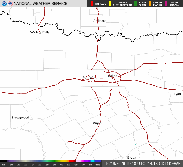
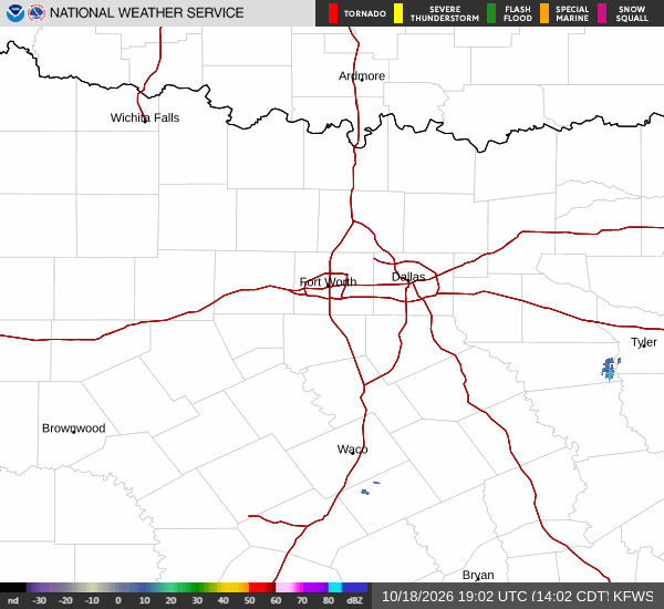
An Extreme Heat Watch is currently in effect for Queen Creek, Texas, signaling severe and future urgency for the region. The danger is immediate, with the air temperature sitting at 100F and the heat index, or feels-like temperature, reaching 101F. Relative humidity is at 26%, with a dew point of 59F.
Winds are blowing from the west at 9 mph, with gusts reaching 16 mph, under partly cloudy skies.
Forecast for Today and Tomorrow
Today, temperatures will climb to a high near 103F before dropping to a low near 81F tonight. There is a slight chance of showers and thunderstorms developing after 5pm. The National Weather Service indicates a 20% chance of precipitation, with new rainfall amounts less than a tenth of an inch possible. Winds will shift to the west at 5 to 10 mph.
Tonight, conditions will become mostly cloudy with a low around 81F, though temperatures may rise to around 83F overnight. There is a chance of showers and thunderstorms before 11pm, followed by another chance between 11pm and 2am, and a slight chance thereafter. The chance of precipitation is 40%, with south southeast winds at 5 to 10 mph.
Rainfall totals are expected to remain under a tenth of an inch.