Back to Weather

5-day forecast / Queen Creek, AZ

WednesdaySunny102° / 82° 3%
ThursdaySunny109° / 86° 2%
FridaySunny112° / 88° 2%
SaturdaySunny then Slight Chance Showers And Thunderstorms114° / 87° 24%
SundayChance Showers And Thunderstorms109° / 84° 35%

Extreme Heat Warning and Air Quality Alert in Effect for Queen Creek - Jul 22, 2 PM

Queen Creek weather, updated every four hours — local forecasts you can trust.

Queen Creek residents face dangerous heat with an Extreme Heat Warning and Air Quality Alert. Current temperatures reach 100F with a heat index of 103F.

Dana Goddard

July 22, 20262 min read

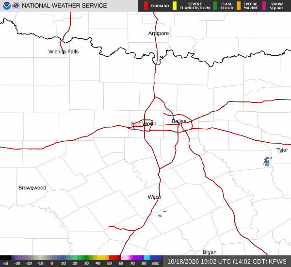
National Weather Service radar for North Texas (KFWS)

*As of Jul 22, 2 PM local time.*

Dangerous Heat and Air Quality Concerns

Queen Creek is currently under the influence of two active National Weather Service alerts: an Extreme Heat Warning and an Air Quality Alert. The region is experiencing intense heat right now, with the air temperature at 100F. Due to humidity levels, the heat index, or what it feels like, is 103F.

Relative humidity is at 29%, with a dew point of 63F. Winds are light, blowing at 4 mph with gusts to 4 mph, under a mostly clear sky.

The Extreme Heat Warning indicates severe conditions that are expected to persist. This alert was issued by the NWS Phoenix office and remains in effect. Additionally, an Air Quality Alert is active, also issued by the NWS Phoenix office, signaling potential concerns with air purity in the area. Residents should monitor local updates for any changes to these warnings.

Forecast for Today and Tomorrow

Today, the sun will dominate the sky, bringing a high near 102F. The chance of precipitation is minimal at 3%. Winds will be from the west northwest around 5 mph.

As evening approaches tonight, skies will remain mostly clear. Temperatures will drop to a low near 82F, though they may rise slightly to around 85F overnight. Winds will shift to the east, remaining light at 0 to 5 mph.

Tomorrow, the heat will intensify significantly. Expect another sunny day with a high near 109F. The heat index values are forecast to reach as high as 114F.
The chance of rain remains very low at 2%. Winds will be from the north, ranging from 0 to 5 mph. Tomorrow night, skies will be mostly clear with a low around 86F.

Heat index values may stay as high as 111F. Winds will shift to the north northeast, staying between 0 to 5 mph.

Safety Reminders

Given the Extreme Heat Warning and the current heat index of 103F, it is critical to stay cool. Hydrate frequently and limit any midday exertion. The Air Quality Alert suggests taking care with outdoor activities if you are sensitive to air quality issues. Please check on neighbors, especially the elderly, who may be vulnerable to these conditions.

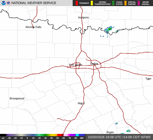
National Weather Service radar for North Texas (KFWS)

Sources

https://radar.weather.gov

https://api.weather.gov

https://open-meteo.com

Share

Dana Goddard

Dana Goddard covers weather, storms, and seasonal life around Queen Creek.

Related Stories

More in Sport