Back to Weather

5-day forecast / Queen Creek, AZ

TuesdaySlight Chance Showers And Thunderstorms then Sunny109° / 85° 19%
WednesdaySunny110° / 86° 4%
ThursdaySunny113° / 87° 1%
FridaySunny then Slight Chance Showers And Thunderstorms115° / 88° 10%
SaturdayMostly Sunny114° / 87° 9%

Extreme Heat Warning in Effect for Queen Creek as Temperatures Hit 109F - Jul 27, 6 PM

Queen Creek weather, updated every four hours — local forecasts you can trust.

An Extreme Heat Warning is active for Queen Creek, TX, with current temperatures reaching 109F and a feels-like of 111F. Residents are urged to take precautions against dangerous heat.

Dana Goddard

July 28, 20262 min read

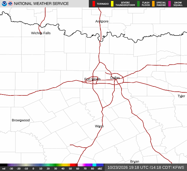
National Weather Service radar for North Texas (KFWS)

*As of Jul 27, 6 PM local time.*

Dangerous Heat Conditions

An Extreme Heat Warning is currently in effect for Queen Creek, Texas, signaling severe and expected heat conditions. As of this evening, the air temperature stands at 109F, with a feels-like temperature of 111F due to the heat index. The relative humidity is at 20%, with a dew point of 59F.

Winds are blowing at 15 mph, though gusts are reported at 12 mph, under a clear sky.

The National Weather Service has issued this warning to highlight the significant risk posed by the current weather pattern. The official alert was issued on July 27 and remains in effect until July 29. This period covers the current high temperatures and the overnight lows, ensuring that residents are aware of the prolonged nature of the heat event.

Forecast and Safety Precautions

Today, the high is near 109F, with a low near 86F. The sky remains sunny, and the chance of precipitation is minimal at 2%. The heat index is expected to reach as high as 112.

Overnight, conditions will shift slightly with a slight chance of showers and thunderstorms after 5am. The sky will be partly cloudy, and the low will settle around 86F, with temperatures rising to around 88F overnight. Winds will decrease to a south southwest flow of 5 to 10 mph.

Tomorrow, the high will again be near 109F, with a low near 85F. There is a slight chance of showers and thunderstorms before noon, followed by sunny skies. The chance of precipitation is 19%, with the heat index reaching up to 112.

Winds will be from the west at 5 to 10 mph. Tonight, the sky will be partly cloudy with a low around 85F and southwest winds of 0 to 10 mph.

Given the extreme heat, it is crucial to stay hydrated and limit midday exertion. Check on neighbors and vulnerable individuals to ensure their safety during this severe heat event. Avoid prolonged exposure to the sun and seek air-conditioned environments whenever possible.

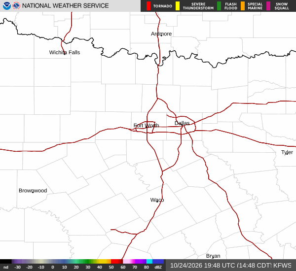
National Weather Service radar for North Texas (KFWS)

Sources

https://radar.weather.gov

https://api.weather.gov

https://open-meteo.com

Share

Dana Goddard

Dana Goddard covers weather, storms, and seasonal life around Queen Creek.

Related Stories

More in Sport