Back to Weather

5-day forecast / Queen Creek, AZ

MondaySunny then Slight Chance Showers And Thunderstorms106° / 85° 21%
TuesdayMostly Sunny then Chance Showers And Thunderstorms103° / 80° 34%
WednesdayChance Showers And Thunderstorms99° / 77° 46%
ThursdayChance Showers And Thunderstorms98° / 78° 39%
FridayMostly Sunny102° / 80° 7%

Queen Creek Heat Index Nears 111 as Scattered Storms Loom - Aug 10, 2 AM

Queen Creek weather, updated every four hours — local forecasts you can trust.

Temperatures in Queen Creek are soaring with a high near 106F and heat index values up to 111. A slight chance of storms develops later today.

Dana Goddard

August 10, 20262 min read

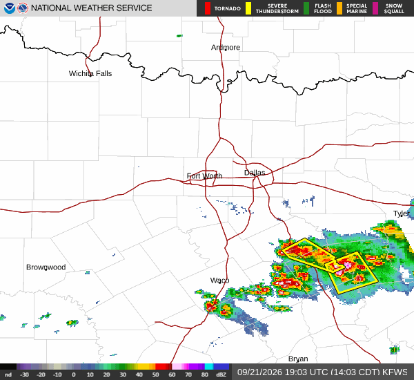
National Weather Service radar for North Texas (KFWS)

*As of Aug 10, 2 AM local time.*

Extreme Heat Warning

Queen Creek is currently experiencing intense heat, with the air temperature at 88F and a feels-like reading of 88F. The sky remains clear as winds blow from the south-southeast at 7 mph, with gusts reaching 14 mph. Relative humidity sits at 43%, while the dew point is recorded at 62F.

Today will be exceptionally hot, with a high near 106F. The National Weather Service indicates heat index values could climb as high as 111. Conditions start sunny but shift to a slight chance of showers and thunderstorms after 5pm.

Winds will vary from west-southwest at 0 to 10 mph. There is a 21% chance of precipitation, with new rainfall amounts less than a tenth of an inch possible.

Overnight and Tomorrow Outlook

Tonight brings a change in dynamics. The sky becomes mostly cloudy with a low around 85F initially, though temperatures may rise to around 83F overnight due to patchy blowing dust. Winds shift to the southwest at 5 to 15 mph, with gusts as high as 25 mph.

There is a slight chance of showers and thunderstorms before 7pm, followed by a chance between 7pm and 1am. The precipitation chance rises to 50%, with less than a tenth of an inch of rain possible.
Tomorrow remains hot but slightly cooler, with a high near 103F and a low near 80F. Skies will be mostly sunny before becoming mostly cloudy later in the evening. A chance of showers and thunderstorms is expected after 5pm, with another chance before 11pm.

Winds will be from the south-southwest at 5 to 10 mph. The precipitation chance is 34%, with rainfall amounts between a tenth and quarter of an inch possible.

There are no active National Weather Service or NOAA weather alerts in effect for this area. However, given the extreme heat and potential for sudden storms, residents should stay hydrated and limit midday exertion. Keep an eye on local updates as conditions can change rapidly with the approaching storm chances.

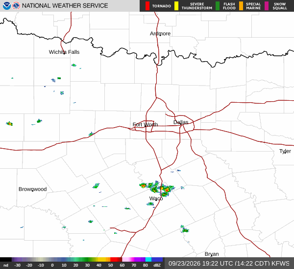
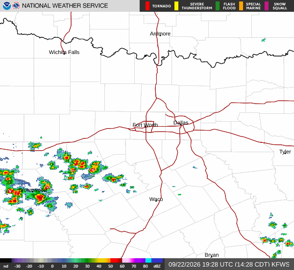
National Weather Service radar for North Texas (KFWS)

Sources

https://radar.weather.gov

https://api.weather.gov

https://open-meteo.com

Share

Dana Goddard

Dana Goddard covers weather, storms, and seasonal life around Queen Creek.

Related Stories

More in Sport