Back to Weather

5-day forecast / Queen Creek, AZ

TuesdaySlight Chance Showers And Thunderstorms103° / 79° 16%
WednesdayChance Showers And Thunderstorms99° / 77° 42%
ThursdaySlight Chance Showers And Thunderstorms99° / 77° 20%
FridayMostly Sunny100° / 79° 6%
SaturdayMostly Sunny104° / 81° 4%

Air Quality Alert and Extreme Heat Impact Queen Creek Today - Aug 11, 6 AM

Queen Creek weather, updated every four hours — local forecasts you can trust.

Queen Creek residents face an active Air Quality Alert alongside dangerously high temperatures, with highs near 103F and a slight chance of thunderstorms developing overnight.

Dana Goddard

August 11, 20262 min read

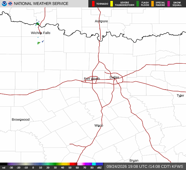
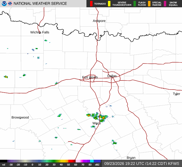
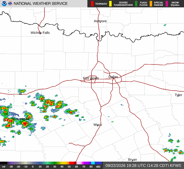
National Weather Service radar for North Texas (KFWS)

*As of Aug 11, 6 AM local time.*

Current Conditions and Alerts

An active Air Quality Alert is currently in effect for Queen Creek, TX. This alert was issued by the National Weather Service in Phoenix at 9:56AM MST on August 10. Alongside this air quality concern, residents are dealing with intense heat.

Current conditions show an air temperature of 84F, but the feels-like temperature is a more oppressive 87F due to 55% relative humidity and a dew point of 66F.

Winds are currently light at 3 mph, though gusts have reached up to 23 mph. The sky remains partly cloudy as we move through this morning. It is important to note that the severity and urgency levels for this specific alert are listed as unknown by the issuing authority.

Forecast: Today and Tomorrow

Temperatures will climb significantly today, reaching a high near 103F. The National Weather Service forecasts sunny skies with southwest winds between 5 to 10 mph. There is a slight chance of showers and thunderstorms, with a precipitation probability of 20%.

Overnight, conditions will shift slightly. A slight chance of showers and thunderstorms is expected before 11pm, followed by a chance of storms between 11pm and 3am, and then a slight chance afterward. Skies will be partly cloudy with a low around 79F to 81F.

Winds will remain light from the south southwest around 5 mph. The chance of precipitation overnight is 30%, with new rainfall amounts less than a tenth of an inch possible.
Tomorrow brings a slight cooldown but increased storm activity. Highs will drop to near 99F under partly sunny skies. South southwest winds will persist around 5 mph. The chance of showers and thunderstorms rises to 42% (forecasted as 40% in the detailed breakdown), with new rainfall amounts less than a tenth of an inch possible.
Safety Reminders

Given the extreme heat, please hydrate frequently and limit midday exertion outdoors. During the Air Quality Alert, sensitive individuals should consider reducing prolonged outdoor activities. As thunderstorms become more likely tomorrow night, monitor local updates for any changes in conditions.

National Weather Service radar for North Texas (KFWS)

Sources

https://radar.weather.gov

https://api.weather.gov

https://open-meteo.com

Share

Dana Goddard

Dana Goddard covers weather, storms, and seasonal life around Queen Creek.

Related Stories

More in Sport