Back to Weather

5-day forecast / Queen Creek, AZ

WednesdayChance Showers And Thunderstorms99° / 77° 36%
ThursdayChance Showers And Thunderstorms then Slight Chance Showers And Thunderstorms98° / 77° 29%
FridayMostly Sunny100° / 79° 5%
SaturdayMostly Sunny103° / 81° 3%
SundayMostly Sunny107° / 83° 5%

Queen Creek Weather: Heat Holds Steady With Late Storms - Aug 12, 9 AM

Queen Creek weather, updated every four hours — local forecasts you can trust.

Current conditions in Queen Creek show 84F under overcast skies. Today's high nears 99F with rain chances climbing later, while tomorrow remains hot and partly sunny.

Dana Goddard

August 12, 20261 min read

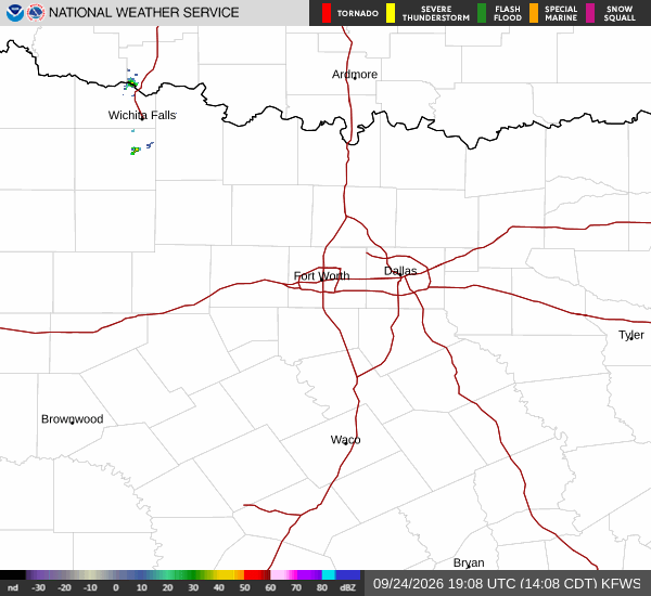
National Weather Service radar for North Texas (KFWS)

*As of Aug 12, 9 AM local time.*

Current Conditions and Today

It is currently Wednesday morning in Queen Creek, where the temperature sits at 84F with a feels-like of 87F. Humidity is at 55% and winds are blowing from the southwest at 9 mph under an overcast sky.

Today brings a high near 99F and a low near 77F. The sky will feature a chance of showers and thunderstorms. Rain chances climb to about 32%, with activity most likely around 1 AM. Compared with yesterday, today's high is about the same as yesterday.

Tomorrow's Outlook

Tomorrow looks slightly cooler but still warm, with a high near 98F (near today's) and a low near 77F. The sky will show a chance of showers and thunderstorms then slight chance showers and thunderstorms.
Conditions are holding steady for the rest of the day, with little change since earlier. It is a good day for the outdoors if you stay ahead of any late storms. There are no active weather alerts; this is a routine local forecast.

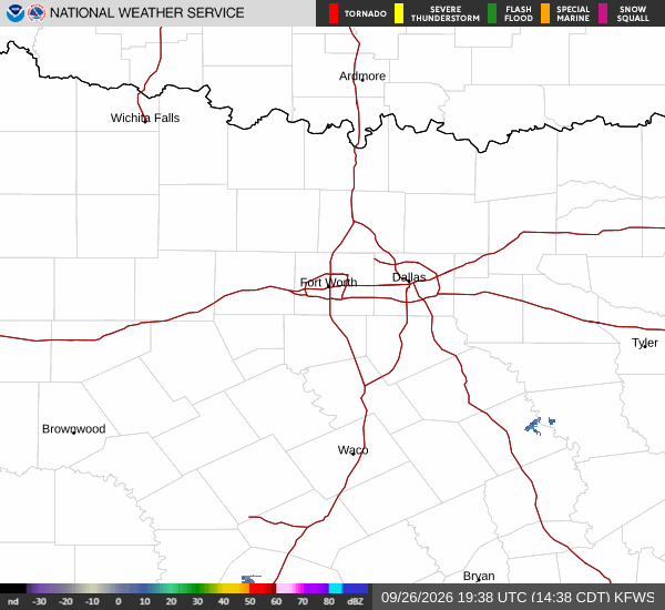
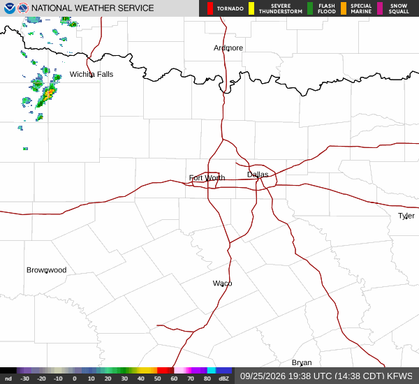
National Weather Service radar for North Texas (KFWS)

Sources

https://radar.weather.gov

https://api.weather.gov

https://open-meteo.com

Share

Dana Goddard

Dana Goddard covers weather, storms, and seasonal life around Queen Creek.

Related Stories

More in Sport