Back to Weather

5-day forecast / Queen Creek, AZ

SaturdayMostly Sunny105° / 79° 3%
SundaySunny106° / 82° 2%
MondaySunny110° / 86° 2%
TuesdaySunny111° / 86°
WednesdaySunny110° / 86° 4%

Extreme Heat Watch in Effect for Queen Creek as Temperatures Climb Near 106 - Aug 15, 3 AM

Queen Creek weather, updated every four hours — local forecasts you can trust.

An Extreme Heat Watch is active for Queen Creek, TX, with highs near 105 today and 106 tomorrow. Current conditions are hot and clear.

Dana Goddard

August 15, 20262 min read

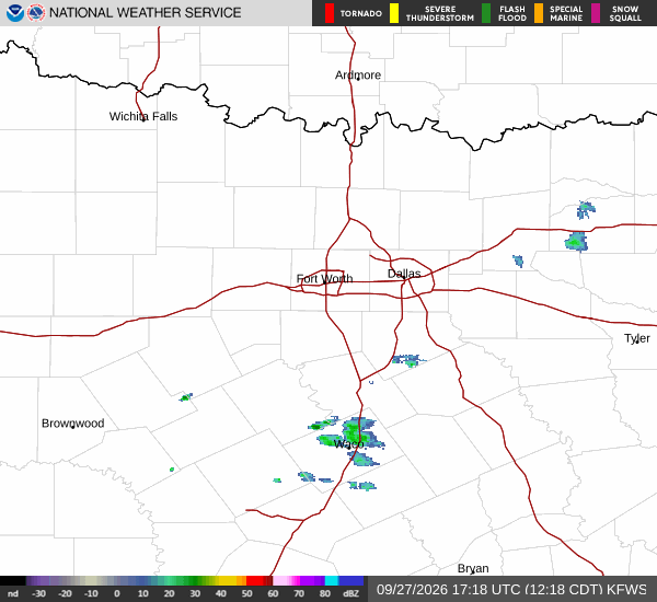
National Weather Service radar for North Texas (KFWS)

*As of Aug 15, 3 AM local time.*

Alert Overview

Residents in Queen Creek, Texas, should be aware that an Extreme Heat Watch is currently in effect. This alert, issued by the National Weather Service in Phoenix, Arizona, carries a severe severity rating and indicates future urgency. The watch period extends from August 14 at 11:50 PM MST until August 21 at 8:00 PM MST.

This designation signals that conditions are expected to be dangerously hot for an extended duration, requiring heightened caution.

Current Conditions

It is currently Saturday overnight in Queen Creek. The air temperature stands at 87F, with a feels-like temperature of 86F. Relative humidity is at 38%, and the dew point is recorded at 58F. Winds are calm, blowing at 0 mph with gusts reaching up to 3 mph. The sky remains clear, offering no relief from the daytime heat accumulation.

Forecast for Today and Tomorrow

Today, the sun will be out for most of the day under mostly sunny skies. Temperatures will rise to a high near 105F before dropping to a low near 79F later in the evening. The chance of precipitation is minimal at 3%. Winds will remain light, shifting from southwest to south southeast, ranging between 0 to 5 mph.
Tomorrow, conditions will stay sunny with a high near 106F and a low around 82F. The probability of rain drops slightly to 2%. Wind patterns will shift to the south southwest during the day at 0 to 5 mph, transitioning to north northeast winds around 5 mph overnight.

Safety Reminder

Given the Extreme Heat Watch and temperatures nearing 106F, it is critical to stay hydrated and limit outdoor exertion during the hottest parts of the day. Check on neighbors and vulnerable individuals who may not have access to cooling. Ensure vehicles are not left in direct sunlight and seek air-conditioned environments whenever possible.

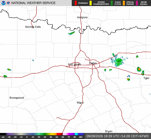
National Weather Service radar for North Texas (KFWS)

Sources

https://radar.weather.gov

https://api.weather.gov

https://open-meteo.com

Share

Dana Goddard

Dana Goddard covers weather, storms, and seasonal life around Queen Creek.

Related Stories

More in Sport