Back to Weather

5-day forecast / Queen Creek, AZ

MondaySunny106° / 83° 2%
TuesdaySunny112° / 84° 2%
WednesdaySunny114° / 86°
ThursdaySunny113° / 87° 1%
FridaySunny then Slight Chance Showers And Thunderstorms111° / 85° 14%

Queen Creek Faces Extreme Heat and Poor Air Quality - Aug 24, 12 PM

Queen Creek weather, updated every four hours — local forecasts you can trust.

An Extreme Heat Warning and multiple Air Quality Alerts are active for Queen Creek, TX. Temperatures will soar to 112F tomorrow with hazardous heat indices.

Dana Goddard

August 24, 20262 min read

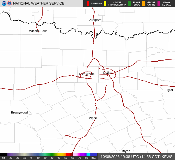
National Weather Service radar for North Texas (KFWS)

*As of Aug 24, 12 PM local time.*

Current Conditions and Active Alerts

Residents in Queen Creek, Texas, are currently navigating a combination of intense heat and compromised air quality. The National Weather Service has issued an Extreme Heat Warning with severe severity, effective until August 29 at 8:00PM MST. Additionally, two separate Air Quality Alerts are in effect, one issued on August 24 and another on August 23, both indicating poor atmospheric conditions.

Right now, the air temperature stands at 97F, with a feels-like temperature of 97F. The relative humidity is at 29%, and the dew point is recorded at 59F. Winds are blowing from the west at 13 mph, though gusts are noted at 4 mph. The sky remains partly cloudy as this afternoon progresses.

Forecast for Today and Tomorrow

The heat will intensify significantly over the next 24 hours. Today is expected to be sunny with a high near 106F and a low around 83F. There is only a 2% chance of precipitation. The National Weather Service forecasts west winds between 5 to 10 mph during the day, shifting to 0 to 5 mph tonight as skies become mostly clear.

Tomorrow brings even more extreme conditions. Highs will climb near 112F, with temperatures settling around 110F in the afternoon. Heat index values are projected to reach as high as 111. The sky will remain sunny, and winds will be from the west southwest at 0 to 10 mph. Overnight lows will drop to around 84F under mostly clear skies.
Safety Reminders

Given the severity of the Extreme Heat Warning and the active Air Quality Alerts, caution is essential. The combination of high temperatures and poor air quality poses significant health risks. Residents should stay hydrated and limit midday exertion to avoid heat-related illnesses.

It is also advisable to check on neighbors, particularly the elderly or those with respiratory conditions, who may be more vulnerable to these hazardous environmental factors. Please monitor local updates for any changes in alert status.

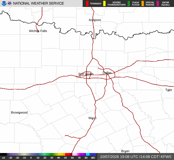
National Weather Service radar for North Texas (KFWS)

Sources

https://radar.weather.gov

https://api.weather.gov

https://open-meteo.com

Share

Dana Goddard

Dana Goddard covers weather, storms, and seasonal life around Queen Creek.

Related Stories

More in Sport