Back to Weather

5-day forecast / Queen Creek, AZ

ThursdaySunny107° / 84° 2%
FridaySunny105° / 82° 5%
SaturdaySunny103° / 82° 8%
SundaySunny104° / 81° 9%
MondaySlight Chance Rain Showers then Chance Showers And Thunderstorms103° / 78° 49%

Extreme Heat Warning in Effect for Queen Creek as Temperatures Soar - Sep 10, 12 PM

Queen Creek weather, updated every four hours — local forecasts you can trust.

An Extreme Heat Warning is active for Queen Creek, TX. Current conditions show a high heat index of 101F with sunny skies expected through tomorrow.

Dana Goddard

September 10, 20262 min read

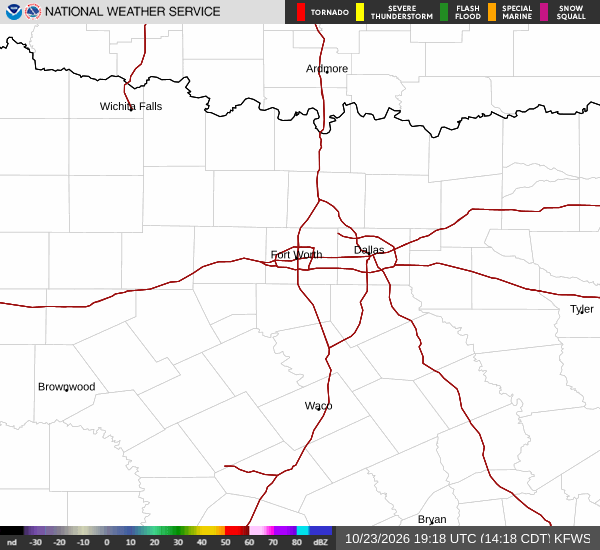
National Weather Service radar for North Texas (KFWS)

*As of Sep 10, 12 PM local time.*

Dangerous Heat Conditions Underway

A severe Extreme Heat Warning is currently in effect for Queen Creek, Texas. The National Weather Service has issued this alert due to dangerously high temperatures that pose significant risks to health and safety. Residents are urged to take immediate precautions as the region experiences intense heat.

Current conditions reflect the severity of the situation. At this time on Thursday afternoon, the air temperature is recorded at 97F. However, the combination of heat and humidity results in a feels-like temperature of 101F.

Relative humidity stands at 37%, with a dew point of 66F. Winds are light, blowing from the west at 7 mph with gusts reaching up to 4 mph. The sky remains mostly clear, allowing for unobstructed solar heating.

Forecast Outlook and Safety Guidance

The heat will persist through the remainder of today and tomorrow. Today is expected to be sunny with a high near 107F. Temperatures are forecast to fall to around 105F in the afternoon. Winds will shift to the west at 5 to 10 mph. Tonight, skies will become mostly clear with a low around 84F. Southwest winds will decrease to around 5 mph.

Tomorrow brings continued sunny conditions with a high near 105F. Temperatures are expected to drop to approximately 103F during the afternoon hours. Southwest winds will range from 5 to 10 mph.

While the chance of precipitation remains low at 5% for the day, there is a slight chance of showers and thunderstorms between 7pm and 11pm tomorrow night. Skies will clear again with a low around 82F and south winds of 5 to 10 mph.

Given the Extreme Heat Warning, it is critical to stay hydrated and limit outdoor exertion during the hottest parts of the day. Check on neighbors and vulnerable individuals who may be affected by the heat. Ensure vehicles have adequate coolant and do not leave people or pets in parked cars. The warning remains in effect until 8:00PM MST.

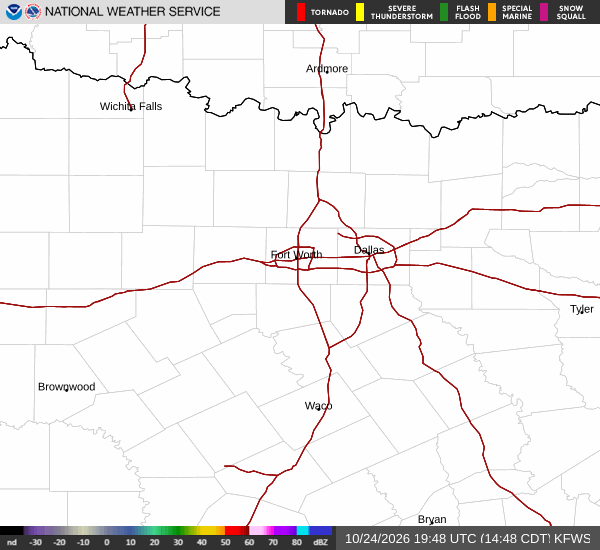
National Weather Service radar for North Texas (KFWS)

Sources

https://radar.weather.gov

https://api.weather.gov

https://open-meteo.com

Share

Dana Goddard

Dana Goddard covers weather, storms, and seasonal life around Queen Creek.

Related Stories

More in Sport