Back to Weather

5-day forecast / Queen Creek, AZ

MondaySlight Chance Showers And Thunderstorms84° / 69° 71%
TuesdayShowers And Thunderstorms79° / 64° 96%
WednesdaySunny81° / 64° 6%
ThursdaySunny86° / 68°
FridaySunny89° / 69°

Queen Creek Flood Watch Active Amid Heavy Rain Outlook - Sep 28, 12 PM

Queen Creek weather, updated every four hours — local forecasts you can trust.

A severe flood watch is in effect for Queen Creek as heavy showers and thunderstorms are expected. Current conditions are mild, but significant rainfall is forecast for tonight and tomorrow.

Dana Goddard

September 28, 20262 min read

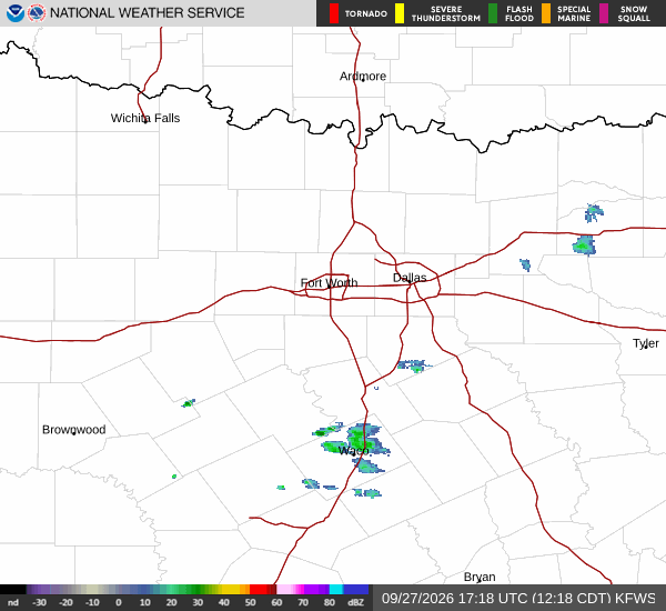
National Weather Service radar for North Texas (KFWS)

*As of Sep 28, 12 PM local time.*

Severe Flood Watch in Effect

A severe flood watch is currently active for the Queen Creek area, issued by the National Weather Service. This alert indicates that conditions are favorable for flooding, and residents should remain vigilant. The watch remains in effect until tomorrow evening.

While the current afternoon air temperature is a comfortable 79 degrees Fahrenheit, with a relative humidity of 51 percent, the situation is expected to change rapidly as weather systems move through the region. Winds are currently blowing from the north-northwest at 12 miles per hour, with gusts reaching 14 miles per hour, and the sky is mainly clear.

However, this calm is temporary as significant precipitation is on the horizon.

Rainfall and Temperature Outlook

Today, a high near 84 degrees is expected, with a 71 percent chance of precipitation. Showers and thunderstorms are likely to develop in the afternoon, bringing new rainfall amounts between a quarter and half of an inch. Tonight, the risk increases significantly.

A low near 69 degrees is forecast, with an 80 percent chance of precipitation. Residents should prepare for heavy rain, with totals potentially reaching one to two inches. This substantial accumulation is the primary driver for the active flood watch.

Tomorrow, the weather will remain wet and cooler. A high near 79 degrees is expected, with a 96 percent chance of precipitation. Showers and thunderstorms are likely throughout the day, with additional rainfall amounts between a half and three-quarters of an inch possible.

Temperatures may fall to around 76 degrees in the afternoon due to cloud cover and rain.

Safety Reminders

Given the severe flood watch, it is crucial to avoid driving through flooded roads. Water can be deeper and more powerful than it appears. If you see standing water, turn around and find an alternate route.

Ensure that your home’s drainage systems are clear and that you have a plan for potential power outages. Stay informed by monitoring local news and official weather service updates. Do not rely on unofficial sources for critical safety information.

By staying prepared and informed, you can help protect yourself and your community during this period of heavy rainfall.

National Weather Service radar for North Texas (KFWS)

Sources

National Weather Service radar

National Weather Service forecast data

Open-Meteo weather data

Share

Dana Goddard

Dana Goddard covers weather, storms, and seasonal life around Queen Creek.

Related Stories

More in Sport

Sport

Five Hits to Tie It, Four Walks to Lose It

Arizona tied its finale with a five-hit seventh inning. Four walks helped San Diego reclaim the lead before the Padres finished a 9-4 victory.

Lena QuillSeptember 28, 20264 min read