*As of Sep 29, 12 PM local time.*
Active Flood Watch and Current Conditions
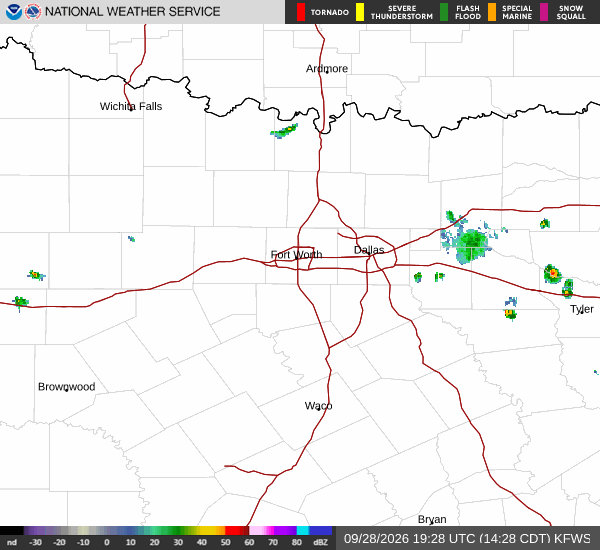
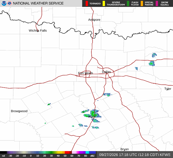
Residents of Queen Creek should remain vigilant as a severe flood watch is currently active. This alert indicates that conditions are favorable for flooding, requiring careful attention to local water levels and weather updates. As of this afternoon, the air temperature stands at 73 degrees Fahrenheit, with a feels-like temperature of 74 degrees.
The relative humidity is 78 percent, and the dew point is 66 degrees. Winds are light at 6 miles per hour, with gusts also reaching 6 miles per hour. The sky is mainly clear at the moment, but the atmosphere is primed for potential changes.
Today’s Forecast and Rainfall Potential
Today brings a high near 79 degrees and a low near 64 degrees. There is a 44 percent chance of precipitation, with showers and thunderstorms likely to develop. The National Weather Service notes a chance of storms before 5 p.m., followed by continued chances of showers and thunderstorms later in the day.
Partly sunny skies are expected, though temperatures may fall to around 77 degrees in the afternoon. South southwest winds will blow around 5 miles per hour. New rainfall amounts are expected to be less than a tenth of an inch.
Tonight, the chance of precipitation remains at 30 percent, with storms possible before 7 p.m. and again between midnight and 5 a.m. The low will be around 64 degrees, with temperatures rising to 66 degrees overnight. Mostly cloudy skies are anticipated, and south southeast winds will remain around 5 miles per hour.