Back to Weather

5-day forecast / Queen Creek, AZ

ThursdaySunny102° / 77°
FridaySunny101° / 77° 2%
SaturdayShowers And Thunderstorms Likely93° / 70° 64%
SundayShowers And Thunderstorms then Chance Showers And Thunderstorms86° / 67° 82%
MondaySlight Chance Showers And Thunderstorms82° / 64° 40%

Queen Creek Faces Extreme Heat and Air Quality Alert - Oct 8, 12 PM

Queen Creek weather, updated every four hours — local forecasts you can trust.

Queen Creek residents should prepare for extreme heat with highs near 102F and an active Air Quality Alert. Current conditions show clear skies and low humidity, but temperatures will remain dangerous through tomorrow.

Dana Goddard

October 8, 20262 min read

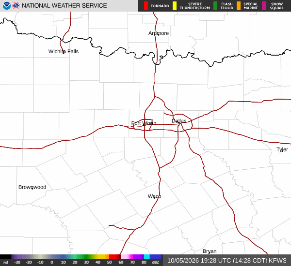
National Weather Service radar for North Texas (KFWS)

*As of Oct 8, 12 PM local time.*

Extreme Heat and Air Quality Concerns

Queen Creek is currently experiencing an active Air Quality Alert issued by the National Weather Service. While the specific severity and urgency are not detailed in the current data, residents should remain vigilant regarding outdoor air quality. Simultaneously, the region is facing extreme heat.

It is currently Thursday this afternoon, with the air temperature sitting at 91F. The feels-like temperature is 89F, relative humidity is 28%, and the dew point is 54F. Winds are light at 5 mph with gusts to 6 mph, and the sky is clear.

These dry conditions contribute to the intense heat expected to persist.

Today and Tonight Outlook

Today will be sunny with a high near 102F. Temperatures are expected to fall to around 100F in the afternoon. The chance of precipitation is 0%.

Southeast winds will blow around 5 mph. Tonight, the sky will be mostly clear with a low around 77F. East southeast winds will shift to 5 to 10 mph.

The combination of high daytime temperatures and clear nights means heat will remain a significant factor for those spending time outdoors.
Tomorrow's Forecast and Safety

Tomorrow will also be sunny, with a high near 101F. Temperatures will drop to around 99F in the afternoon. The chance of precipitation is 2%.

East southeast winds will range from 5 to 15 mph, with gusts as high as 25 mph. Later tomorrow night, there is a slight chance of showers and thunderstorms between 2am and 5am, followed by a chance of showers and thunderstorms. The low will be around 77F.

Given the sustained high temperatures, it is crucial to stay hydrated and limit midday exertion. Check on neighbors, especially those who may be vulnerable to heat, and monitor air quality levels if you have respiratory sensitivities.

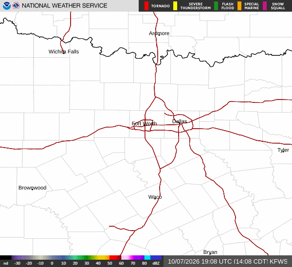
National Weather Service radar for North Texas (KFWS)

Sources

National Weather Service radar

National Weather Service forecast data

Open-Meteo weather data

Share

Dana Goddard

Dana Goddard covers weather, storms, and seasonal life around Queen Creek.

Related Stories

More in Sport