Back to Weather

5-day forecast / Queen Creek, AZ

FridayPatchy Blowing Dust85° / 64°
SaturdayMostly Cloudy then Slight Chance Rain Showers80° / 64° 20%
SundaySlight Chance Rain Showers81° / 64° 17%
MondaySlight Chance Showers And Thunderstorms84° / 65° 16%
TuesdayMostly Sunny then Slight Chance Showers And Thunderstorms84° / 66° 15%

Wind Advisory in Effect for Queen Creek as Gusts Reach 40 mph - Oct 16, 12 PM

Queen Creek weather, updated every four hours — local forecasts you can trust.

A Wind Advisory is active for Queen Creek, TX, with sustained winds of 28 mph and gusts up to 40 mph. Patchy blowing dust is expected today before conditions ease slightly tomorrow.

Dana Goddard· AI-assisted, edited by Jake Team

October 16, 20262 min read

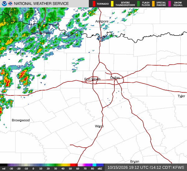
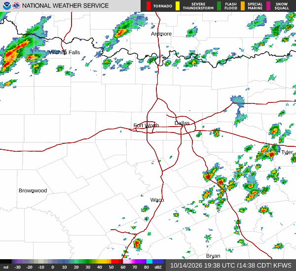
National Weather Service radar for North Texas (KFWS)

*As of Oct 16, 12 PM local time.*

Active Alerts and Current Conditions

A Wind Advisory with moderate severity and expected urgency is currently in effect for Queen Creek, Texas. The National Weather Service issued this advisory on October 15 at 11:41 PM MST, and it remains valid until October 16 at 3:00 PM MST. Residents should anticipate hazardous driving conditions due to strong winds.

As of Friday afternoon, the air temperature stands at 81F with a feels-like temperature of 79F. Relative humidity is low at 20%, and the dew point is recorded at 36F. Winds are blowing from the east-southeast at 28 mph, with gusts reaching as high as 40 mph. The sky is currently obscured by blowing dust, reducing visibility in the area.

Forecast for Today and Tomorrow

Today, patchy blowing dust is expected before 2pm. After that, skies will clear to sunny conditions. The high will reach near 85F, with temperatures gradually falling to around 82F in the afternoon.

Winds will remain strong, ranging from 20 to 25 mph with gusts up to 40 mph. Tonight, the sky will become mostly clear. Temperatures will drop to a low near 64F, rising slightly to around 66F overnight.

East winds will persist at 15 to 20 mph, with gusts still capable of hitting 40 mph.

Tomorrow, conditions will shift to mostly cloudy skies. The high will be near 80F, cooling to around 76F in the afternoon. There is a slight chance of rain showers after 5pm, with a 20% chance of precipitation overall.
Winds will ease somewhat, blowing from the east at 10 to 20 mph with gusts up to 35 mph. While the immediate threat is wind, residents should monitor updates as moisture levels may increase slightly by late tomorrow.

Safety Reminders

Given the active Wind Advisory and current dust conditions, drivers should exercise extreme caution. Secure loose outdoor items that could be damaged by gusts. Stay hydrated and limit prolonged exertion outdoors if you are sensitive to dust inhalation. Keep an eye on local news for any updates to the advisory status as it approaches its expiration time.

National Weather Service radar for North Texas (KFWS)

Sources

National Weather Service radar

National Weather Service forecast data

Open-Meteo weather data

Share

Dana Goddard· AI-assisted, edited by Jake Team

Dana Goddard covers weather, storms, and seasonal life around Queen Creek.

Related Stories

More in Sport