Local business? Support local news on QueenCreek.city

Back to Weather

5-day forecast / Queen Creek, AZ

FridayShowers And Thunderstorms78° / 61° 91%
SaturdayMostly Sunny79° / 63° 14%
SundayShowers And Thunderstorms72° / 57° 99%
MondayChance Rain Showers then Mostly Sunny74° / 53° 25%
TuesdaySunny75° / 52° 1%

Queen Creek Weather: Flood Watch Active Amid Heavy Rain - Oct 30, 12 PM

Queen Creek weather, updated every four hours — local forecasts you can trust.

Queen Creek residents should prepare for significant rainfall as a severe flood watch is in effect. Today brings showers and thunderstorms with a 91% chance of precipitation, while tomorrow offers a drier, mostly sunny outlook.

Dana Goddard· AI-assisted, edited by Jake Team

October 30, 20262 min read

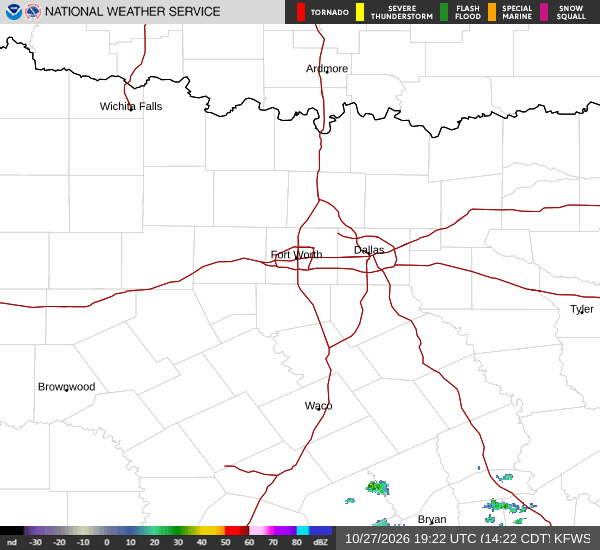
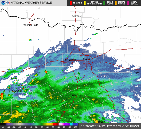
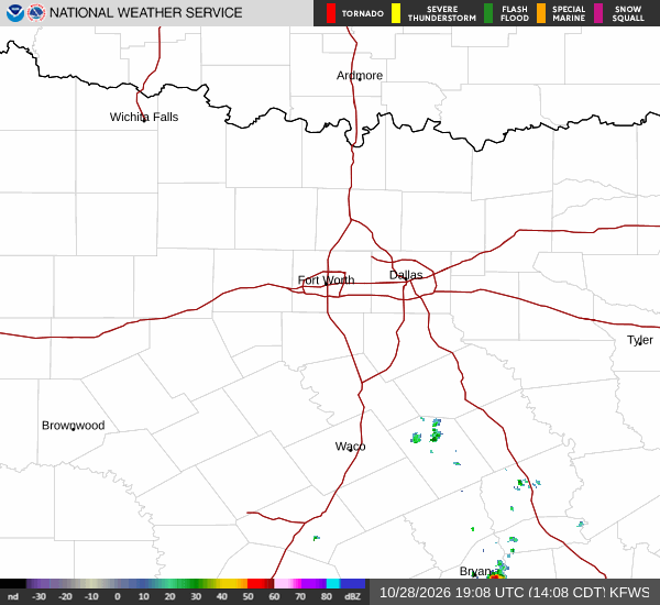
National Weather Service radar for North Texas (KFWS)

*As of Oct 30, 12 PM local time.*

Current Conditions and Immediate Outlook

It is currently Friday this afternoon in Queen Creek, with the air temperature sitting at 72 degrees Fahrenheit. The feels-like temperature is 71 degrees, accompanied by a relative humidity of 65 percent and a dew point of 59 degrees. Winds are blowing from the south southeast at around 4 miles per hour, with gusts reaching 11 miles per hour.

The sky is mostly cloudy, setting the stage for the wet weather expected to persist through the day.

Today and Tonight

Residents should expect showers and thunderstorms today, with a high near 78 degrees and a low near 61 degrees. The chance of precipitation is high at 91 percent. Temperatures are expected to fall to around 69 degrees in the afternoon.

New rainfall amounts between a half and three quarters of an inch are possible. Tonight, showers and thunderstorms are likely before midnight. It will remain mostly cloudy with a low around 61 degrees.

The chance of precipitation drops to 60 percent, with additional rainfall between a tenth and quarter of an inch possible. East winds will be around 5 miles per hour.

Tomorrow and Safety Reminders

Tomorrow looks much drier, with a high near 79 degrees and a low near 63 degrees. The sky will be mostly sunny, and the chance of precipitation is only 14 percent. Southeast winds will range from 0 to 5 miles per hour.
However, rain showers are expected between 7 p.m. and 2 a.m. tomorrow night, followed by showers and thunderstorms. The chance of precipitation rises to 90 percent, with rainfall amounts between three quarters and one inch possible.

Two active flood watches are in effect for the area. One watch, issued by the National Weather Service in Phoenix, Arizona, remains in effect until 6:00 p.m. MST on October 30.

A second severe flood watch is active until 5:00 a.m. MST on November 2. Given the potential for significant water accumulation, it is wise to stay informed and avoid low-lying areas if flooding occurs.

Stay safe and monitor local updates.

National Weather Service radar for North Texas (KFWS)

Sources

National Weather Service radar

National Weather Service forecast data

Open-Meteo weather data

Share

Dana Goddard· AI-assisted, edited by Jake Team

Dana Goddard covers weather, storms, and seasonal life around Queen Creek.

Related Stories

More in Sport

Sport

Arizona Should Keep Its Zay Jones Expectations Modest

Zay Jones’ reported return gives Arizona an experienced receiver after Jalen Brooks went on injured reserve, but Jones’ earlier Cardinals production points toward a measured, rotational role.

Lena QuillOctober 28, 20263 min read