Back to Weather

5-day forecast / Queen Creek, AZ

WednesdayMostly Sunny then Chance Showers And Thunderstorms106° / 81° 40%
ThursdayChance Showers And Thunderstorms then Slight Chance Showers And Thunderstorms100° / 77° 61%
FridayShowers And Thunderstorms Likely96° / 75° 71%
SaturdayChance Showers And Thunderstorms then Slight Chance Showers And Thunderstorms97° / 77° 31%
SundayChance Showers And Thunderstorms99° / 77° 28%

Extreme Heat Hits Queen Creek: High Near 106F with Storm Chances - Jul 15, 6 AM

Queen Creek weather, updated every four hours — local forecasts you can trust.

Queen Creek faces a heat index of 91F this morning. Today brings a high near 106F with a 40% chance of afternoon storms. Tomorrow sees highs near 100F with increasing rain odds.

Dana Goddard

July 15, 20262 min read

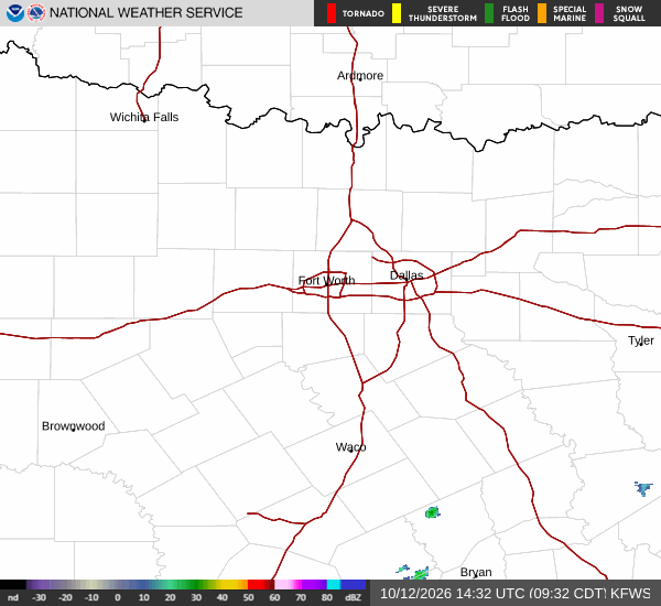
National Weather Service radar for North Texas (KFWS)

*As of Jul 15, 6 AM local time.*

Heat and Current Conditions

Queen Creek is experiencing intense heat this Wednesday morning. The air temperature stands at 90F, but the heat index makes it feel like 91F. Relative humidity is at 43%, with a dew point of 64F. Winds are blowing from the south southeast at 7 mph, with gusts reaching 18 mph. The sky remains clear as the day begins.

Today and Tonight Forecast

Temperatures will climb significantly today, reaching a high near 106F. The National Weather Service indicates that highs will fall to around 103F in the afternoon. There is a 40% chance of precipitation.

A slight chance of rain showers is expected between 4pm and 5pm, followed by a chance of showers and thunderstorms later in the day. South southeast winds will range from 5 to 15 mph.

Tonight, skies will turn mostly cloudy with a low around 81F. Temperatures may rise to around 84F overnight. The chance of precipitation remains at 40%.

Showers and thunderstorms are likely before 8pm, followed by a slight chance between 8pm and 3am, and another chance later. Southeast winds will be 5 to 10 mph, with gusts up to 20 mph. New rainfall amounts less than a tenth of an inch are possible.

Tomorrow Outlook

Conditions will remain hot and humid tomorrow. The high will be near 100F, dropping to around 98F in the afternoon. The chance of precipitation increases to 61%.
Showers and thunderstorms are likely before 8am, with slight chances between 8am and 1pm. A chance of storms is expected between 1pm and 2pm, and again between 2pm and 4pm, with showers and thunderstorms likely later. Partly sunny skies are forecast.

South southwest winds will be around 5 mph. New rainfall amounts between a tenth and quarter of an inch are possible.

Safety Reminder

The extreme heat poses serious health risks. Stay hydrated and limit midday exertion. Check on neighbors, especially the elderly and those without air conditioning. Be aware that sudden thunderstorms can bring dangerous lightning and gusty winds.

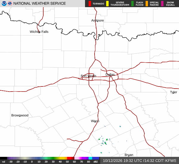
National Weather Service radar for North Texas (KFWS)

Sources

https://radar.weather.gov

https://api.weather.gov

https://open-meteo.com

Share

Dana Goddard

Dana Goddard covers weather, storms, and seasonal life around Queen Creek.

Related Stories

More in Sport