Back to Weather

5-day forecast / Queen Creek, AZ

TuesdayChance Showers And Thunderstorms100° / 81° 37%
WednesdayMostly Sunny104° / 84° 8%
ThursdaySunny110° / 86° 6%
FridayMostly Sunny then Slight Chance Showers And Thunderstorms111° / 86° 20%
SaturdaySunny then Slight Chance Showers And Thunderstorms112° / 86° 14%

Queen Creek Heat Wave Continues With Highs Near 103F - Jul 20, 6 AM

Queen Creek weather, updated every four hours — local forecasts you can trust.

Queen Creek faces extreme heat today with highs near 103F. A slight chance of storms arrives tonight and tomorrow, but temperatures remain dangerously high.

Dana Goddard

July 20, 20262 min read

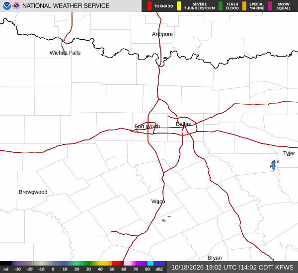
National Weather Service radar for North Texas (KFWS)

*As of Jul 20, 6 AM local time.*

Extreme Heat Dominates Queen Creek

Residents in Queen Creek are currently enduring intense heat, with the air temperature sitting at 86F and a feels-like temperature of 88F. The relative humidity is at 49%, with a dew point of 64F. Winds are blowing from the southwest at 11 mph, with gusts reaching 14 mph, under a clear sky.

Today will be particularly sweltering, with temperatures climbing to a high near 103F. The National Weather Service forecasts sunny skies throughout the day. Winds will shift slightly, becoming southwest at 0 to 10 mph. The low tonight is expected to settle near 81F. The chance of precipitation is minimal at just 10%.

Storms Possible Tonight and Tomorrow

Conditions may shift slightly as the day progresses into the night. Tonight, skies will become mostly cloudy. There is a chance for showers and thunderstorms between 7pm and 11pm, followed by another chance between 11pm and 1am.

After that, a slight chance of showers and thunderstorms remains. Temperatures will rise to around 83F overnight before dropping to the low of 81F. Winds will turn southeast at 5 to 10 mph, with gusts as high as 25 mph.

The overall chance of precipitation for tonight is 30%.

Tomorrow brings a high near 101F. Skies will be mostly sunny, with southwest winds around 5 mph. There is a 30% chance of showers and thunderstorms.
Tomorrow night, skies will turn mostly cloudy with a low around 80F. North winds will hover around 5 mph. There is a chance of showers and thunderstorms before 11pm, then another chance later in the night.

The chance of precipitation remains at 30%.

Safety Reminders

With temperatures reaching near 103F today, it is crucial to stay hydrated and limit midday exertion. Extreme heat can lead to heat-related illnesses quickly. Ensure that vulnerable neighbors and pets are kept cool. While storms are possible tonight and tomorrow, the primary concern remains the intense heat. Monitor local updates for any changes in the forecast.

National Weather Service radar for North Texas (KFWS)

Sources

https://radar.weather.gov

https://api.weather.gov

https://open-meteo.com

Share

Dana Goddard

Dana Goddard covers weather, storms, and seasonal life around Queen Creek.

Related Stories

More in Sport