Back to Weather

5-day forecast / Queen Creek, AZ

FridaySunny then Slight Chance Showers And Thunderstorms111° / 84° 11%
SaturdaySunny then Slight Chance Showers And Thunderstorms112° / 83° 15%
SundayMostly Sunny then Chance Showers And Thunderstorms110° / 82° 32%
MondayMostly Sunny then Chance Showers And Thunderstorms106° / 80° 39%
TuesdayChance Showers And Thunderstorms104° / 81° 26%

Extreme heat and air quality alerts active in Queen Creek - Aug 6, 2 PM

Queen Creek weather, updated every four hours — local forecasts you can trust.

Queen Creek is under an Extreme Heat Warning and an Air Quality Alert as it feels like 105F this afternoon, with hotter conditions forecast tomorrow.

Dana Goddard

August 6, 20262 min read

National Weather Service radar for North Texas (KFWS)

*As of Aug 6, 2 PM local time.*

Dangerous heat this afternoon

Queen Creek is dealing with dangerous heat this afternoon, with an active National Weather Service Extreme Heat Warning and an Air Quality Alert in place. The current air temperature is 102F, and it feels like 105F. Relative humidity is 28%, with a dew point of 63F. Winds are at 8 mph, with gusts up to 18 mph, and the sky is partly cloudy.

The heat is the main concern. Even with relatively low humidity, the combination of strong sun and very hot air can make outdoor activity more taxing, especially for people working outside or spending extended time away from cooling.

Today, tonight and tomorrow

Today is forecast to be mostly sunny, with a high near 108F and only a 2% chance of precipitation. Heat index values may reach as high as 113F. Winds are expected from the west northwest at 5 to 10 mph.

Tonight should be partly cloudy, with a low around 84F and temperatures rising to around 86F overnight. Winds are expected from the west southwest at 5 to 15 mph.

Tomorrow is forecast to be sunny, with a high near 111F and a low near 84F. The chance of precipitation is 11%, with a slight chance of showers and thunderstorms in the forecast. Heat index values may again reach as high as 113F, with west wind at 5 to 10 mph.
Alerts and safety reminders

The Extreme Heat Warning signals a serious heat risk, and the Air Quality Alert adds another concern for residents sensitive to pollution or heat stress.

Keep plans flexible, drink water regularly, limit strenuous outdoor activity when possible, and take breaks in air-conditioned spaces. Check on people who may have a harder time staying cool, including older adults, young children and outdoor workers.

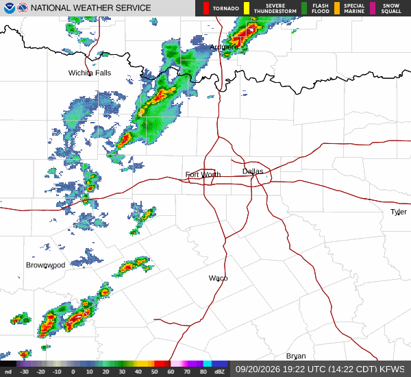
National Weather Service radar for North Texas (KFWS)

Sources

https://radar.weather.gov

https://api.weather.gov

https://open-meteo.com

Share

Dana Goddard

Dana Goddard covers weather, storms, and seasonal life around Queen Creek.

Related Stories

More in Sport