Back to Weather

5-day forecast / Queen Creek, AZ

WednesdayPatchy Blowing Dust102° / 79° 17%
ThursdaySunny then Slight Chance Showers And Thunderstorms103° / 78° 12%
FridaySlight Chance Showers And Thunderstorms102° / 79° 17%
SaturdayMostly Sunny101° / 80° 4%
SundayMostly Sunny104° / 81° 3%

Queen Creek Heat Wave Continues With Patchy Dust and Highs Near 102 - Sep 2, 2 PM

Queen Creek weather, updated every four hours — local forecasts you can trust.

Temperatures remain dangerously high in Queen Creek, with a current feels-like of 98F and a high near 102F today. Patchy blowing dust is expected this afternoon.

Dana Goddard

September 2, 20262 min read

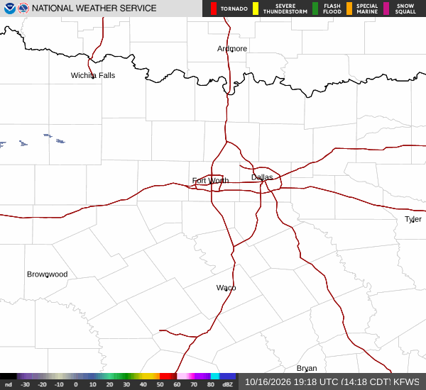
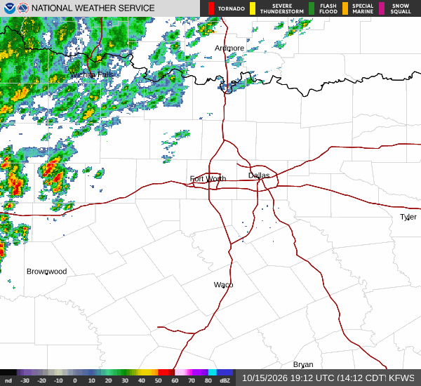
National Weather Service radar for North Texas (KFWS)

*As of Sep 2, 2 PM local time.*

Extreme Heat Persists

Queen Creek residents are bracing for another intense day under the Texas sun. Current conditions show an air temperature of 97F, with a feels-like temperature of 98F due to 33% relative humidity and a dew point of 63F. Winds are currently light at 8 mph, with gusts reaching 11 mph, while the sky remains mainly clear.

Today will see temperatures climb to a high near 102F before dropping to a low near 79F tonight. The National Weather Service indicates a chance of precipitation at 17% for the day. Specifically, patchy blowing dust is expected between 2pm and 3pm.

Following that window, conditions may shift slightly with a slight chance of showers and thunderstorms developing later in the afternoon. Winds will pick up from the west southwest at 5 to 15 mph, with gusts as high as 20 mph during these hours.

Tomorrow’s Forecast

The heat does not break tomorrow. Highs are forecast to reach near 103F, with temperatures falling to around 101F in the afternoon. Lows will settle near 78F. The sky will be sunny initially, but a slight chance of showers and thunderstorms is possible after 5pm.
Looking ahead to tomorrow night, conditions remain partly cloudy with a low around 78F. There is a 50% chance of precipitation, with activity expected before 11pm, between 11pm and midnight, between midnight and 2am, and between 2am and 5am. New rainfall amounts less than a tenth of an inch are possible. Winds will shift to the southeast at 5 to 10 mph.

There are no active National Weather Service or NOAA weather alerts in effect for this area. However, the persistent heat requires caution. Residents should stay hydrated and limit midday exertion. Check on neighbors who may be vulnerable to extreme temperatures. While dust and isolated storms pose minor inconveniences, the primary concern remains the sustained high heat index.

National Weather Service radar for North Texas (KFWS)

Sources

https://radar.weather.gov

https://api.weather.gov

https://open-meteo.com

Share

Dana Goddard

Dana Goddard covers weather, storms, and seasonal life around Queen Creek.

Related Stories

More in Sport