Local business? Support local news on QueenCreek.city

Back to Weather

5-day forecast / Queen Creek, AZ

WednesdayShowers And Thunderstorms Likely87° / 68° 56%
ThursdayShowers And Thunderstorms Likely83° / 61° 71%
FridaySunny78° / 59° 1%
SaturdaySunny77° / 57° 2%
SundaySunny79° / 59° 1%

Queen Creek Weather: Flood Watch Active Amidst Heavy Rain Threats - Oct 21, 12 PM

Queen Creek weather, updated every four hours — local forecasts you can trust.

A severe flood watch is in effect for Queen Creek as showers and thunderstorms become likely. Current temperatures are 84F with a 63% chance of precipitation today.

Dana Goddard· AI-assisted, edited by Jake Team

October 21, 20262 min read

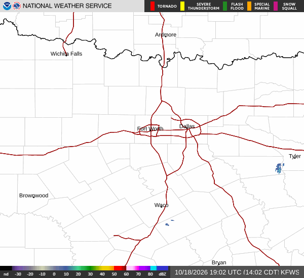
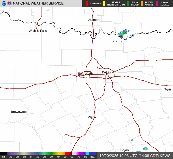
National Weather Service radar for North Texas (KFWS)

*As of Oct 21, 12 PM local time.*

Current Conditions and Alert Status

A severe flood watch is currently active for the Queen Creek area, signaling a significant risk of flooding due to expected rainfall. As of this afternoon, the air temperature stands at 84F, feeling like 85F. Relative humidity is at 48%, with a dew point of 63F.

Winds are blowing from the south southeast at 9 mph, with gusts reaching 14 mph. The sky remains mostly cloudy, setting the stage for the wet weather ahead.

Today’s Forecast and Rainfall

Residents should expect a high near 87F and a low near 68F. There is a 63% chance of precipitation, with showers and thunderstorms likely to develop. The National Weather Service indicates that rainfall amounts between a tenth and a quarter of an inch are possible.

Winds will shift to the southeast at 5 to 10 mph. As evening approaches, the chance of precipitation rises to 70%, with showers and thunderstorms becoming likely. Temperatures will hover around 68F, potentially rising to 70F overnight.

East winds will be around 5 mph. The combination of persistent storms and the active flood watch requires careful attention to local waterways and low-lying areas.
Tomorrow’s Outlook

Tomorrow will bring a high near 83F and a low near 61F. The chance of precipitation is 71%, with showers and thunderstorms likely throughout the day. Partly sunny periods may break through, but rain remains a constant threat.

Winds will come from the south at 5 to 10 mph, with gusts as high as 20 mph. Rainfall amounts are expected to be between a tenth and a quarter of an inch. Given the severe nature of the flood watch, it is prudent to stay informed of local updates and avoid driving through standing water.

General safety reminders include staying hydrated and limiting midday exertion due to the warm temperatures, while also being prepared for the wet conditions.

National Weather Service radar for North Texas (KFWS)

Sources

National Weather Service radar

National Weather Service forecast data

Open-Meteo weather data

Share

Dana Goddard· AI-assisted, edited by Jake Team

Dana Goddard covers weather, storms, and seasonal life around Queen Creek.

Related Stories

More in Sport

Sport

The Suns’ YMCA Will Be Measured Long After All-Star Weekend

Phoenix’s planned $60 million downtown YMCA has the makings of a substantial civic investment, but its legacy will depend on ordinary access, reliable programming and housing delivered after the spotlight moves on.

Lena QuillOctober 20, 20263 min read