Local business? Support local news on QueenCreek.city

Back to Weather

5-day forecast / Queen Creek, AZ

SundayShowers And Thunderstorms72° / 54° 98%
MondaySunny73° / 51°
TuesdaySunny76° / 51°
WednesdaySunny77° / 51°
ThursdaySunny76° / 52°

Queen Creek Flood Watch Active Amid Heavy Rain and Storms - Nov 1, 12 PM

Queen Creek weather, updated every four hours — local forecasts you can trust.

A severe flood watch is in effect for Queen Creek as heavy rain and thunderstorms bring significant moisture. Current conditions are cool and humid, with a high near 72F expected today.

Dana Goddard· AI-assisted, edited by Jake Team

November 1, 20261 min read

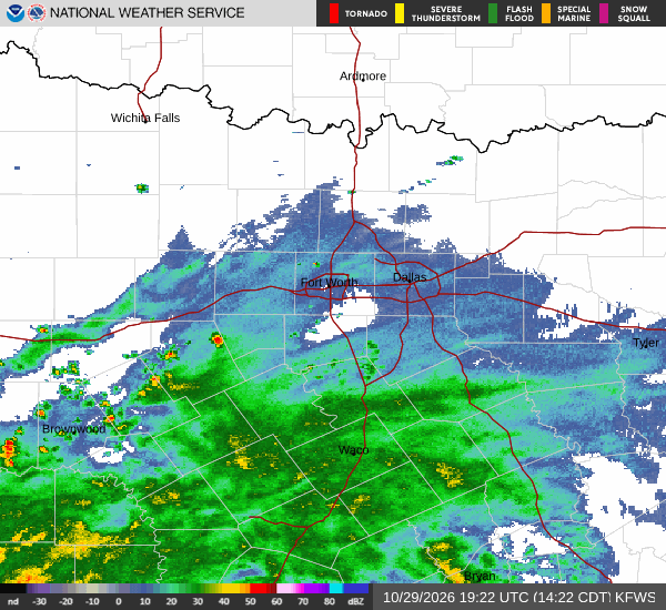
National Weather Service radar for North Texas (KFWS)

*As of Nov 1, 12 PM local time.*

Severe Flood Watch in Effect

Residents of Queen Creek should remain vigilant as a severe flood watch is currently active. This alert indicates that conditions are favorable for flooding, and residents should stay informed through official channels. The weather pattern is bringing significant moisture to the region, necessitating caution.

Current Conditions and Today's Outlook

It is currently Sunday this afternoon, with the air temperature sitting at 68F. The feels-like temperature is also 68F, while relative humidity stands at 94%. The dew point is 66F, and the sky is cloudy.

Winds are currently calm at 0 mph, though gusts have reached 25 mph. Today, the high is expected to be near 72F, with a low near 54F. There is a 98% chance of precipitation, with showers and thunderstorms likely.

Some of these storms could be severe. Rainfall amounts between a half and three-quarters of an inch are possible. Winds will shift to the south southwest at 15 to 20 mph, with gusts as high as 40 mph.
Tonight and Tomorrow

Tonight, showers and thunderstorms are expected before 2am, with an 80% chance of precipitation. Some storms may be severe. The low will be around 54F, with temperatures rising to around 56F overnight.

Southwest winds will range from 0 to 15 mph, with gusts up to 35 mph. Rainfall between a quarter and half of an inch is possible. Tomorrow will be sunny with a high near 73F and a low near 51F.

The chance of precipitation drops to 0%. Southwest winds will be light at 0 to 5 mph. Given the heavy rain and potential for flooding, it is wise to avoid low-lying areas and stay updated on local emergency information.

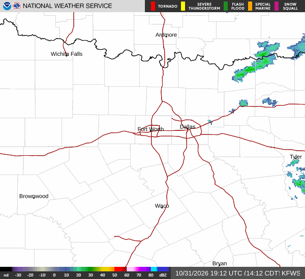
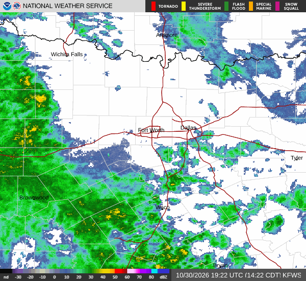
National Weather Service radar for North Texas (KFWS)

Sources

National Weather Service radar

National Weather Service forecast data

Open-Meteo weather data

Share

Dana Goddard· AI-assisted, edited by Jake Team

Dana Goddard covers weather, storms, and seasonal life around Queen Creek.

Related Stories

More in Sport