Back to Weather

5-day forecast / Queen Creek, AZ

ThursdaySunny110° / 87° 3%
FridaySunny113° / 88° 1%
SaturdaySunny then Slight Chance Showers And Thunderstorms115° / 87° 14%
SundaySlight Chance Showers And Thunderstorms109° / 84° 23%
MondaySlight Chance Showers And Thunderstorms105° / 83° 23%
WeatherBreaking

Extreme Heat Warning and Air Quality Alert in Effect for Queen Creek - Jul 23, 2 AM

Queen Creek weather, updated every four hours — local forecasts you can trust.

Queen Creek residents face extreme heat with highs near 110F and an air quality alert. Current conditions show a feels-like temperature of 96F under clear skies.

Dana Goddard

July 23, 20262 min read

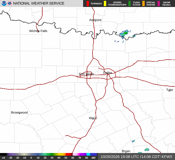
National Weather Service radar for North Texas (KFWS)

*As of Jul 23, 2 AM local time.*

Current Conditions and Active Alerts

It is currently Thursday overnight in Queen Creek, TX, with clear skies and calm winds. The air temperature stands at 92F, but the heat index makes it feel like 96F. Relative humidity is at 46%, with a dew point of 68F. Winds are light, coming in at 0 mph with gusts reaching up to 6 mph.

Two active alerts are in place for this area. The National Weather Service has issued an Extreme Heat Warning, classified as severe in severity and expected in urgency. This warning is in effect until July 27 at 8:00PM MST.

Additionally, an Air Quality Alert is active, though its specific severity and urgency levels are listed as unknown. These alerts underscore the need for caution as temperatures remain dangerously high.

Forecast for Today and Tomorrow

Today, the sun will dominate the sky with no significant chance of rain, as the probability of precipitation is just 3%. Highs will reach near 110F. The heat index is expected to climb as high as 114F.

Winds will remain light, from the southeast at 0 to 5 mph. Overnight, conditions will stay mostly clear. Lows will drop to around 82F, though temperatures may rise to around 85F later in the night.

Winds will shift to east southeast at 0 to 5 mph.
Tomorrow, the heat will intensify further. Skies will remain sunny with a mere 1% chance of precipitation. Highs will approach 113F, with heat index values soaring as high as 115F.

Winds will be from the south at 0 to 5 mph. Overnight into the early hours of the next day, skies will be mostly clear with lows around 88F. Winds will turn to the north northwest at around 5 mph.

Safety Reminders

Given the Extreme Heat Warning, it is critical to stay hydrated and limit midday exertion. Seek air-conditioned environments during the peak heat hours. Additionally, due to the Air Quality Alert, individuals with respiratory sensitivities should monitor their symptoms and consider limiting prolonged outdoor activity. Check on neighbors and vulnerable community members to ensure their safety during these extreme conditions.

National Weather Service radar for North Texas (KFWS)

Sources

https://radar.weather.gov

https://api.weather.gov

https://open-meteo.com

Share

Dana Goddard

Dana Goddard covers weather, storms, and seasonal life around Queen Creek.

Related Stories

More in Sport