Back to Weather

5-day forecast / Queen Creek, AZ

FridaySunny111° / 84° 2%
SaturdaySunny113° / 85° 2%
SundaySunny110° / 85° 3%
MondayMostly Sunny110° / 86° 1%
TuesdaySunny112° / 87° 1%

Extreme Heat Warning and Air Quality Alerts in Effect for Queen Creek - Aug 21, 12 PM

Queen Creek weather, updated every four hours — local forecasts you can trust.

Queen Creek faces severe heat and poor air quality. Current temps are 99F with an Extreme Heat Warning active through late August.

Dana Goddard

August 21, 20262 min read

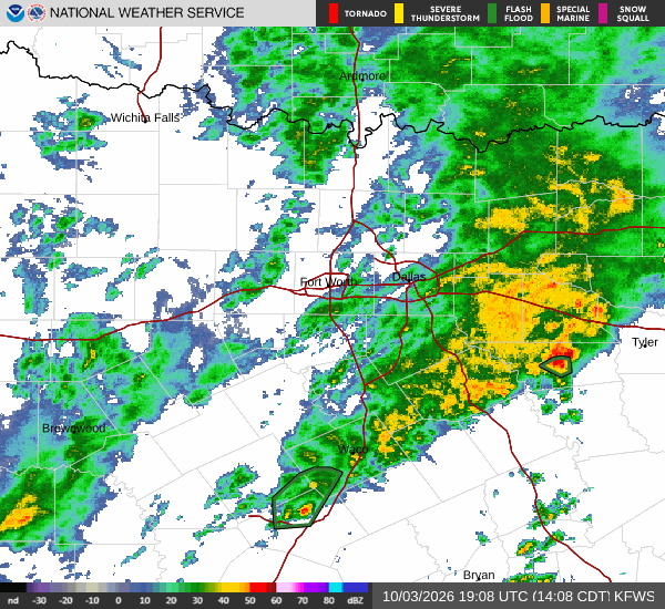
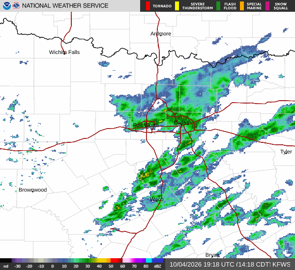
National Weather Service radar for North Texas (KFWS)

*As of Aug 21, 12 PM local time.*

Severe Heat and Air Quality Concerns

Residents of Queen Creek, TX, are currently under the influence of two significant National Weather Service alerts: an Extreme Heat Warning and multiple Air Quality Alerts. The current conditions reflect the intensity of these warnings, with the air temperature at 99F and a feels-like temperature of 99F. The sky remains clear, humidity is at 29%, and the dew point sits at 61F.

Winds are light, recorded at 0 mph with gusts reaching up to 5 mph.

The Extreme Heat Warning, issued by the NWS Phoenix AZ, is in effect until August 28 at 8:00PM MST. This severe alert underscores the dangerous heat levels expected in the region. Additionally, Air Quality Alerts have been issued for August 20 and August 21, indicating periods where air quality may pose health risks.

Forecast Outlook

Today will be sunny with a high near 111F. Temperatures are expected to fall to around 109F in the afternoon, with heat index values reaching as high as 111. West winds will remain light at 0 to 5 mph. The chance of precipitation is minimal at just 1%.

Tonight, skies will turn partly cloudy. Temperatures will drop to a low around 84F, though they may rise slightly to around 86F overnight. Southeast winds will pick up slightly to around 5 mph.
Tomorrow remains sunny with a high near 113F. Afternoon temperatures will dip to approximately 111F, with heat index values climbing to 112. West winds will continue at 0 to 5 mph. The chance of rain is negligible at 2%. Tomorrow night will be partly cloudy with a low around 85F and south southeast winds around 5 mph.

Safety Reminders

Given the Extreme Heat Warning, it is critical to stay hydrated and limit midday exertion. High heat indices can lead to heat-related illnesses quickly. Additionally, due to the active Air Quality Alerts, individuals with respiratory sensitivities should monitor local air quality reports and consider limiting prolonged outdoor activities. Please check on neighbors and vulnerable community members during this period of extreme weather.

National Weather Service radar for North Texas (KFWS)

Sources

https://radar.weather.gov

https://api.weather.gov

https://open-meteo.com

Share

Dana Goddard

Dana Goddard covers weather, storms, and seasonal life around Queen Creek.

Related Stories

More in Sport