Back to Weather

5-day forecast / Queen Creek, AZ

SaturdaySunny108° / 82° 3%
SundaySunny then Chance Showers And Thunderstorms108° / 80° 51%
MondayChance Showers And Thunderstorms106° / 80° 28%
TuesdayChance Showers And Thunderstorms107° / 81° 38%
WednesdayChance Showers And Thunderstorms106° / 79° 44%

Blowing Dust Advisory and Dangerous Heat in Queen Creek - Jul 11, 2 PM

Queen Creek weather, updated every four hours — local forecasts you can trust.

A Blowing Dust Advisory is in effect for Queen Creek, TX, alongside dangerous heat with temperatures near 108F. Showers and thunderstorms are possible tomorrow.

Dana Goddard

July 11, 20262 min read

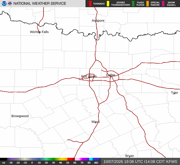
National Weather Service radar for North Texas (KFWS)

*As of Jul 11, 2 PM local time.*

Active Alerts and Current Conditions

A Blowing Dust Advisory is currently in effect for Queen Creek, Texas. This moderate-severity alert, issued by the National Weather Service, is expected to last until 10:00 PM MST. Drivers should exercise caution as reduced visibility may occur due to blowing dust.

Current conditions reflect intense heat. The air temperature is 100F, with a feels-like temperature of 101F. Relative humidity stands at 26%, and the dew point is 59F. Winds are blowing from the west at 9 mph, with gusts reaching 11 mph. The sky remains clear at this time.

Forecast for Today and Tonight

Today will be sunny with a high near 108F. The National Weather Service indicates a west wind around 10 mph. The chance of precipitation is minimal at 3%. Temperatures will drop to a low near 82F tonight.

Conditions will shift later in the evening. Patchy blowing dust is expected between 7pm and 11pm. Following that, there is a slight chance of showers and thunderstorms between midnight and 4am. The sky will become mostly cloudy. Overnight, temperatures will rise to around 86F before settling. South winds will increase to 5 to 20 mph, with gusts as high as 30 mph.

Tomorrow’s Outlook

Tomorrow will begin sunny with a high near 108F. However, heat index values may reach as high as 111F. Temperatures are expected to fall to around 106F in the afternoon. Winds will shift to the west northwest at 0 to 10 mph. The chance of precipitation is 50%.
A chance of showers and thunderstorms is expected after 4pm. New rainfall amounts less than a tenth of an inch are possible. Tomorrow night will bring a chance of showers and thunderstorms before 2am. The sky will be mostly cloudy with a low around 80F. Southeast winds will blow at 5 to 10 mph, with a 40% chance of precipitation. Additional rainfall less than a tenth of an inch is possible.

Safety Reminders

Given the dangerous heat and blowing dust, residents should stay hydrated and limit midday exertion. Check on neighbors and ensure vehicles have proper visibility during dust events.

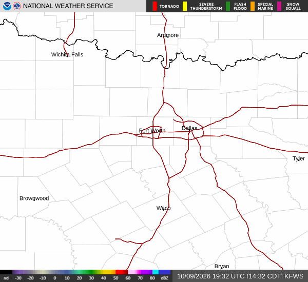
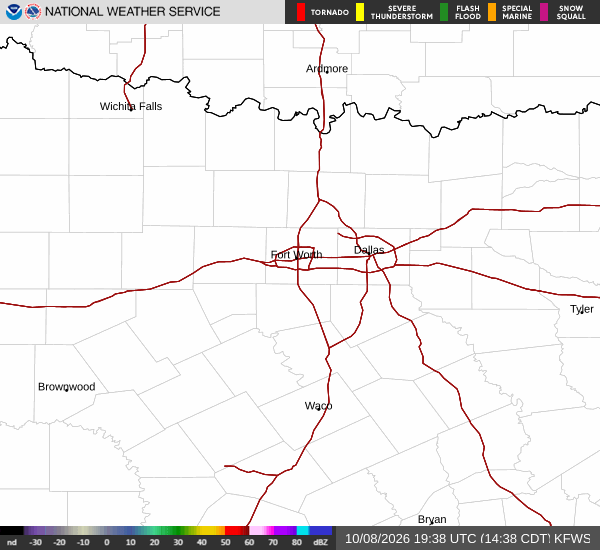
National Weather Service radar for North Texas (KFWS)

Sources

https://radar.weather.gov

https://api.weather.gov

https://open-meteo.com

Share

Dana Goddard

Dana Goddard covers weather, storms, and seasonal life around Queen Creek.

Related Stories

More in Sport