Back to Weather

5-day forecast / Queen Creek, AZ

ThursdayChance Showers And Thunderstorms100° / 76° 31%
FridayChance Showers And Thunderstorms94° / 75° 49%
SaturdaySlight Chance Showers And Thunderstorms96° / 76° 20%
SundayChance Showers And Thunderstorms then Slight Chance Showers And Thunderstorms98° / 77° 25%
MondayChance Rain Showers then Slight Chance Showers And Thunderstorms99° / 77° 34%

Flood Watch and Air Quality Alert in Effect as Queen Creek Heat Persists - Jul 15, 6 PM

Queen Creek weather, updated every four hours — local forecasts you can trust.

Queen Creek residents face a Flood Watch and Air Quality Alert while enduring dangerous heat with feels-like temperatures reaching 108F. Showers and thunderstorms are possible tonight and tomorrow.

Dana Goddard

July 16, 20262 min read

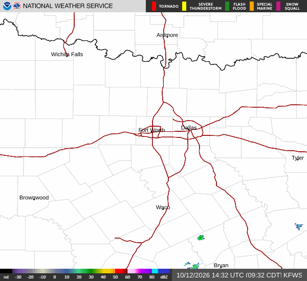
National Weather Service radar for North Texas (KFWS)

*As of Jul 15, 6 PM local time.*

Active Alerts and Current Conditions

A Flood Watch with severe severity is currently in effect for Queen Creek, Texas, alongside an Air Quality Alert of unknown severity. These warnings were issued by the National Weather Service in Phoenix and remain active. Residents should monitor local news for updates as these conditions evolve.

Current conditions reflect intense heat. The air temperature stands at 106F, with a feels-like temperature of 108F. Relative humidity is at 23%, and the dew point is 61F. Winds are blowing from the east at 11 mph, with gusts reaching 7 mph. The sky is mainly clear at this time.

Forecast for Tonight and Tomorrow

Tonight, the sky will become mostly cloudy. There is a slight chance of showers and thunderstorms before 3am, followed by a chance of showers and thunderstorms later. The low will be near 80F, though temperatures may rise to around 83F overnight. East winds will increase to 5 to 15 mph, with gusts as high as 25 mph. The chance of precipitation is 40%.

Tomorrow, skies will be partly sunny. A slight chance of showers and thunderstorms exists before 7am, followed by a chance between 7am and 8am, and then a general chance of showers and thunderstorms. The high will be near 100F, with temperatures falling to around 97F in the afternoon.

Southwest winds will be 5 to 15 mph, with gusts up to 25 mph. The chance of precipitation is 31%, with new rainfall amounts less than a tenth of an inch possible.
Safety Reminders

The combination of severe heat and potential flooding requires caution. With feels-like temperatures near 108F, it is critical to stay hydrated and limit midday exertion. Seek air-conditioned environments when possible.

Additionally, due to the Air Quality Alert, individuals with respiratory sensitivities should consider reducing outdoor activities. The Flood Watch indicates that flooding is possible; avoid low-lying areas and do not drive through flooded roadways. Check on neighbors, especially the elderly, who may be vulnerable to the heat.

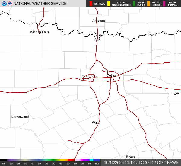
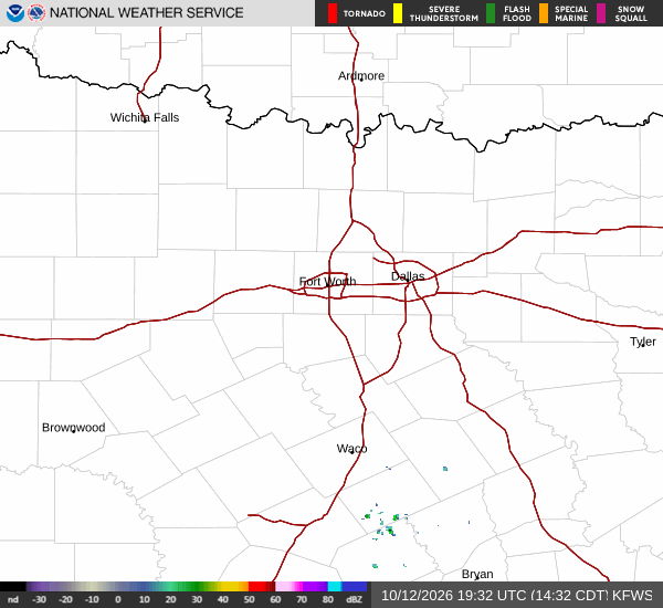
National Weather Service radar for North Texas (KFWS)

Sources

https://radar.weather.gov

https://api.weather.gov

https://open-meteo.com

Share

Dana Goddard

Dana Goddard covers weather, storms, and seasonal life around Queen Creek.

Related Stories

More in Sport