Back to Weather

5-day forecast / Queen Creek, AZ

ThursdayShowers And Thunderstorms Likely101° / 80° 58%
FridayShowers And Thunderstorms Likely92° / 76° 74%
SaturdayChance Showers And Thunderstorms then Slight Chance Showers And Thunderstorms97° / 76° 36%
SundayChance Showers And Thunderstorms then Mostly Sunny99° / 77° 31%
MondayChance Rain Showers then Slight Chance Showers And Thunderstorms99° / 78° 26%

Flood Watch and Air Quality Alert in Effect for Queen Creek as Heat Breaks - Jul 16, 2 AM

Queen Creek weather, updated every four hours — local forecasts you can trust.

Queen Creek residents face a Flood Watch and Air Quality Alert while temperatures cool from today's near-101F high. Showers and thunderstorms are likely through tomorrow.

Dana Goddard

July 16, 20262 min read

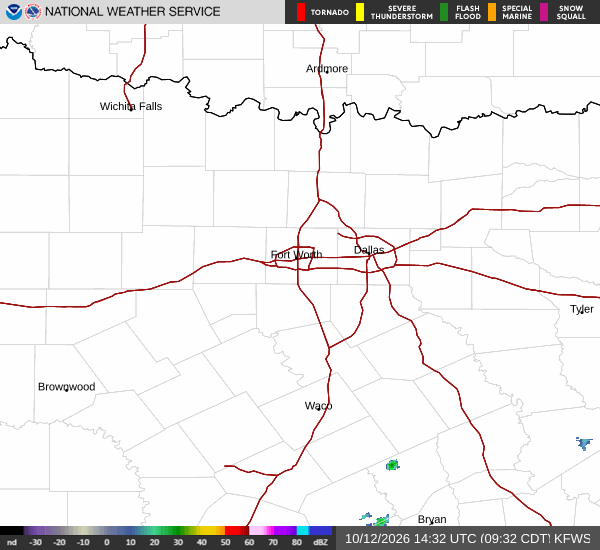
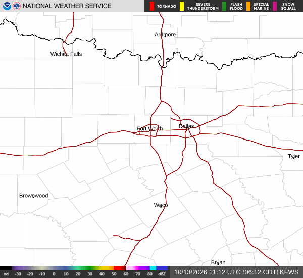
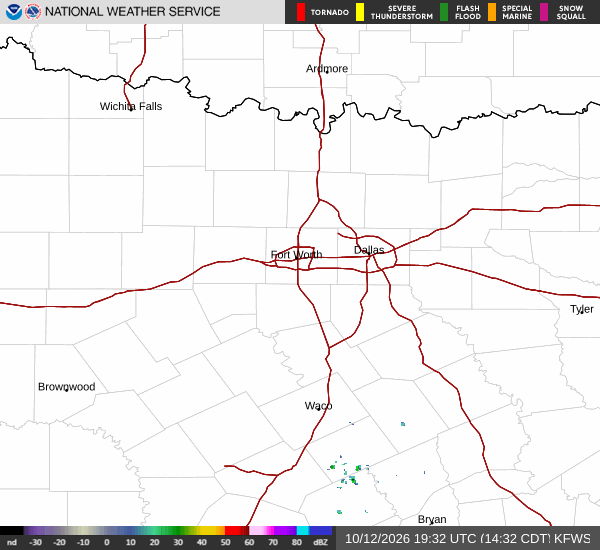
National Weather Service radar for North Texas (KFWS)

*As of Jul 16, 2 AM local time.*

Active Alerts and Current Conditions

A Flood Watch with severe severity is currently in effect for Queen Creek, Texas, alongside an Air Quality Alert of unknown severity. These warnings were issued by the National Weather Service in Phoenix and remain active. As of this Thursday overnight, the air temperature sits at 86F with a feels-like temperature of 88F.

Relative humidity is at 50%, and the dew point is 65F. Winds are blowing from the southeast at 7 mph with gusts reaching 10 mph, while the sky remains partly cloudy.

Forecast for Today and Tonight

Today brings intense heat, with a high near 101F. The sky will be mostly sunny, and temperatures are expected to fall to around 96F in the afternoon. South southwest winds will hover around 5 mph. There is a 60% chance of precipitation, with showers and thunderstorms likely. Residents should anticipate new rainfall amounts between a tenth and a quarter of an inch.

Tonight, conditions will shift to mostly cloudy skies. Showers and thunderstorms are likely before 11pm, followed by a continued likelihood of showers and thunderstorms. The low will drop to around 74F, with temperatures rising to approximately 77F overnight.

Southeast winds will remain around 5 mph. The chance of precipitation is 70%, with potential new rainfall amounts between a half and three quarters of an inch. Note that earlier forecast data indicated a low near 80F with temperatures rising to 84F; however, the detailed overnight forecast specifies a low of 74F.

Tomorrow Outlook

Tomorrow, the heat will subside significantly, with a high near 92F. Showers and thunderstorms are likely before 2pm, followed by a chance of showers and thunderstorms between 2pm and 3pm, and then likely again between 3pm and 5pm. The sky will be partly sunny, and west southwest winds will be around 5 mph.
The chance of precipitation is 70%, with new rainfall amounts between a tenth and a quarter of an inch possible.

Tomorrow night will be mostly cloudy with a low around 76F. A chance of showers and thunderstorms is expected before 8pm, continuing thereafter. East winds will be around 5 mph, with a 50% chance of precipitation and less than a tenth of an inch of new rainfall possible.

Safety Reminders

Given the severe Flood Watch, residents should monitor local conditions closely and avoid low-lying areas prone to rapid water accumulation. The Air Quality Alert suggests limiting prolonged outdoor exertion if you are sensitive to air quality changes. During the peak heat today, stay hydrated and limit time in direct sun. As thunderstorms develop, seek shelter indoors and avoid driving through flooded roadways.

National Weather Service radar for North Texas (KFWS)

Sources

https://radar.weather.gov

https://api.weather.gov

https://open-meteo.com

Share

Dana Goddard

Dana Goddard covers weather, storms, and seasonal life around Queen Creek.

Related Stories

More in Sport